 Add My Company
Sign In

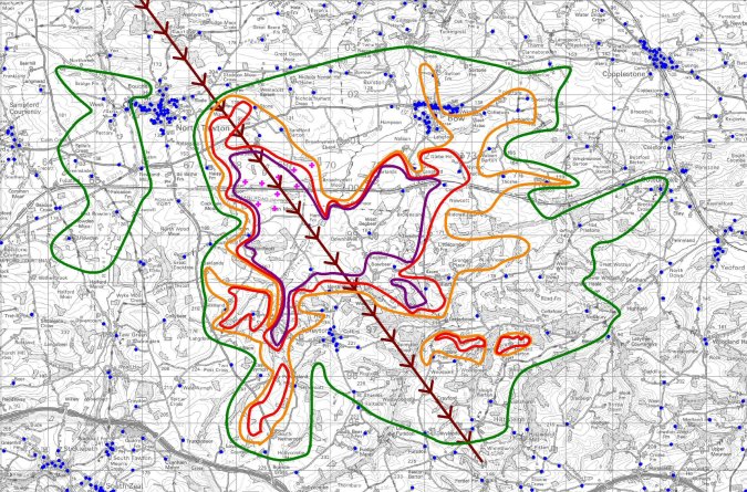
GIS Mapping Format For Wind Turbine Interference Severity
We have developed�specialist computer modelling software to assess the potential impacts of a wind farm, wind turbines or just one single wind turbine upon the reception and operation of television services.
We have developed�specialist computer modelling software to assess the potential impacts of a wind farm, wind turbines or just one single wind turbine upon the reception and operation of television services.
For more information on GIS Mapping Format For Wind Turbine Interference Severity talk to GTech Surveys Limited
Enquire Now
List your company on FindTheNeedle.

