 Add My Company
Sign In

3D Laser Scanning Surveys East Anglia
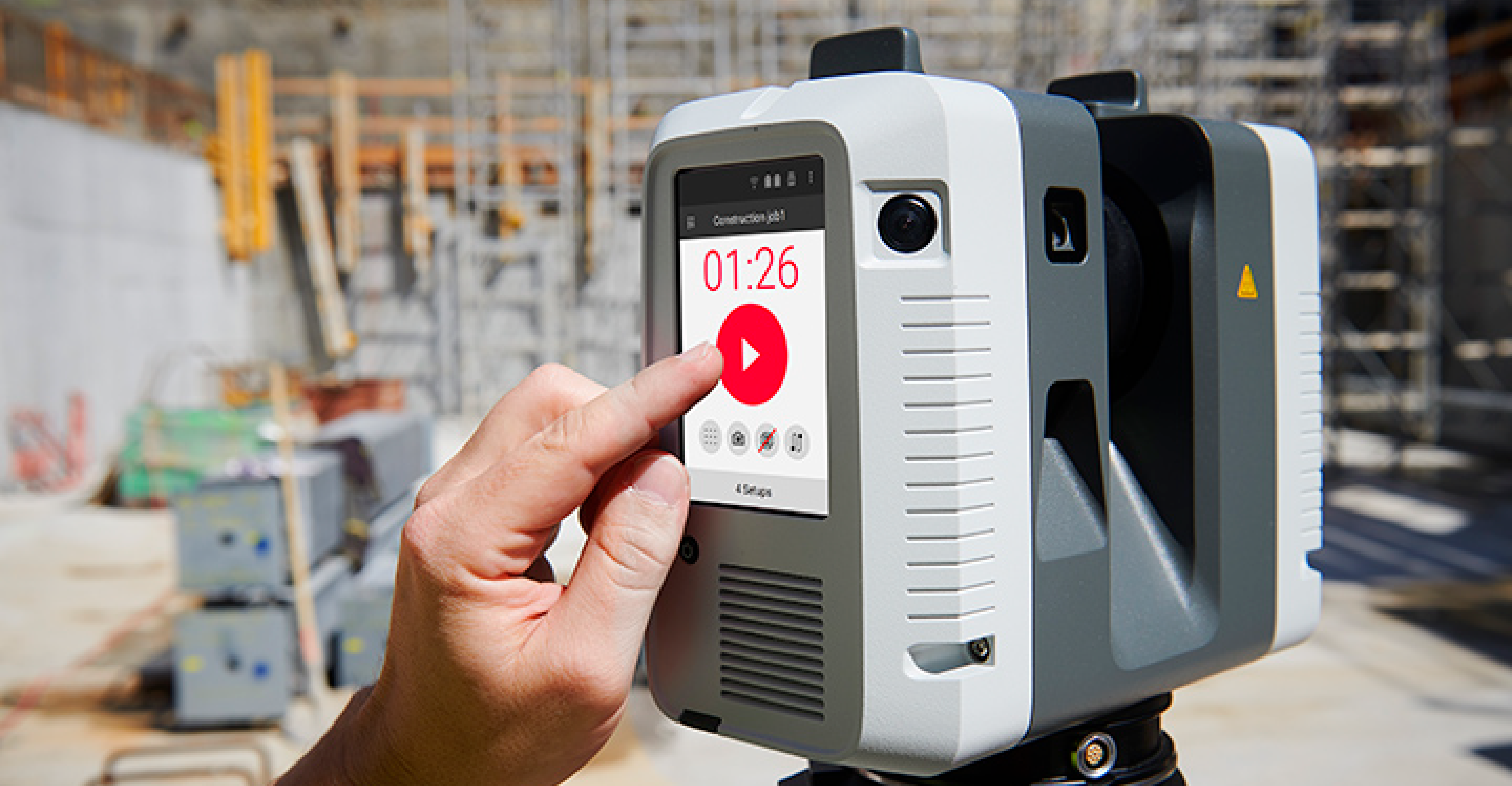
3D laser scanning is high definition surveying; a method of collecting high density spatial data sets in a fraction of the time taken by traditional systems. The scanner emits a laser horizontally and vertically, rotating through 360A°.�
3D laser scanning is high definition surveying; a method of collecting high density spatial data sets in a fraction of the time taken by traditional systems. The scanner emits a laser horizontally and vertically, rotating through 360A°.�
For more information on 3D Laser Scanning Surveys East Anglia talk to SJ Geomatics
Enquire Now
List your company on FindTheNeedle.
