About Us
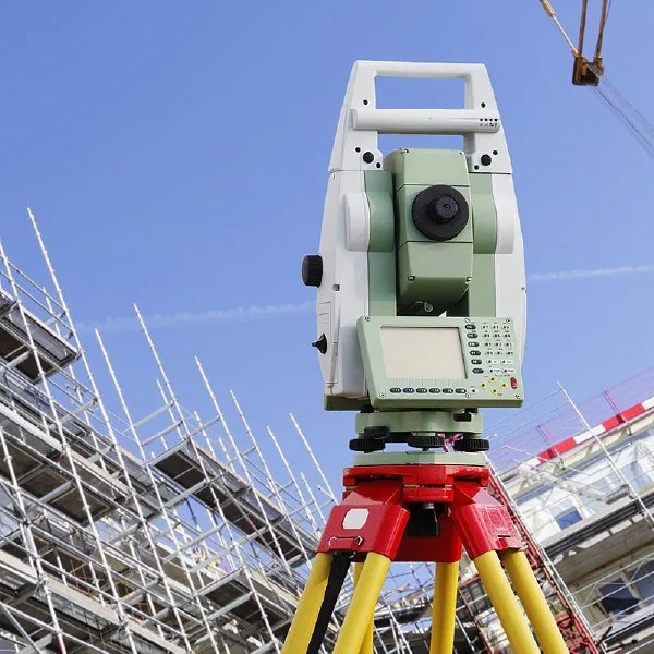
SJ Geomatics is a trusted provider of professional surveying services, known for delivering friendly, cost-effective, and time-sensitive solutions across the UK. With extensive experience in the field, the company has built a strong reputation for accuracy, reliability, and client-focused service.
Operating nationwide, SJ Geomatics supports a wide range of clients including national corporations, local authorities, architects, structural engineers, facilities managers, project managers, and both small and large construction firms. The team combines technical expertise with a commitment to meeting project deadlines and budgets, ensuring successful outcomes for projects of all sizes.


